FORECAST: Sunny & warm to end the work week
WEATHER HEADLINES
- NEXT 12: Highs in the lower 80s with plenty of sunshine
- SHORT TERM: Remaining warm and dry through Friday
- LONG TERM: Hurricane Isaias brings us some beneficial rain this weekend
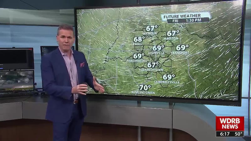
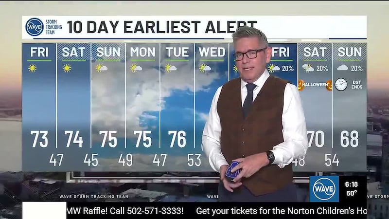
LOUISVILLE, Ky. (WDRB+WAVE) - The sunny and pleasant weather continues today. Highs return to the upper 70s and low 80s this afternoon. With mainly clear skies and light winds expected overnight, lows will fall into the upper 40s and low 50s by Friday morning.
Highs jump into the low to mid-80s to end the workweek. While we look to begin the day with blue skies and sunshine, upper-level clouds from the tropical cyclone in the Gulf begin to spread over the region tomorrow afternoon. A high cloud deck will remain over the area tomorrow night as the tropical system approaches. Lows slide into the 50s and low 60s as the weekend begins.
Clouds will continue to increase on Saturday before the remnants of Hurricane Isaias brings rain to the region Saturday night into Sunday.
Copyright 2026 WDRB+WAVE. All Rights Reserved.