FORECAST: Last dry day before Hurricane Isaias brings weekend rain

WEATHER HEADLINES
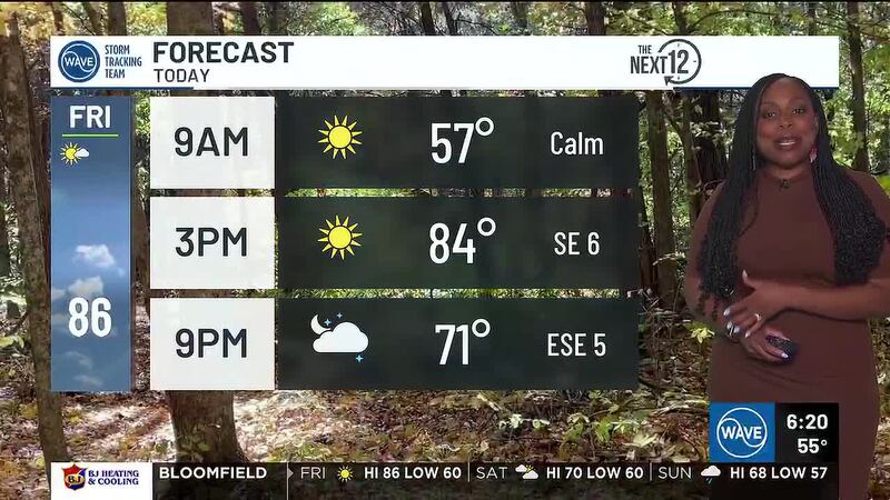
- NEXT 12: Highs in the 80s with morning sun and increasing afternoon clouds
- SHORT TERM: Hurricane Isaias’ remnants brings rain Saturday afternoon through Sunday
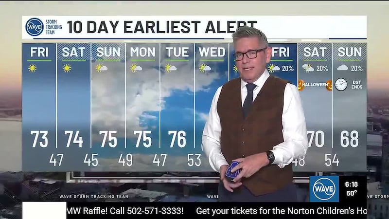
- LONG TERM: Temperature rollercoaster next week
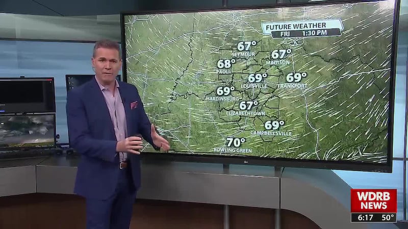
LOUISVILLE, Ky. (WDRB+WAVE) - Even as upper-level clouds from Hurricane Isaias move into the region today from the south, we’ll still see plenty of sunshine as highs climb into the low to mid-80s.
High clouds remain overhead tonight as tropical moisture pushes north. It will still be a cool night; expect lows in the 50s and low 60s.
Clouds continue to increase Saturday morning, with showers possible as early as tomorrow afternoon. With the additional clouds and rain in the forecast, Saturday will be a cool day, with highs near 70°.
Showers and thunderstorms are still expected Saturday night as remnants of Hurricane Isaias move through the region. Some bands of rain may produce locally heavy rainfall.
Rounds of rain continue on Sunday before we dry out Sunday night.
Copyright 2026 WDRB+WAVE. All Rights Reserved.